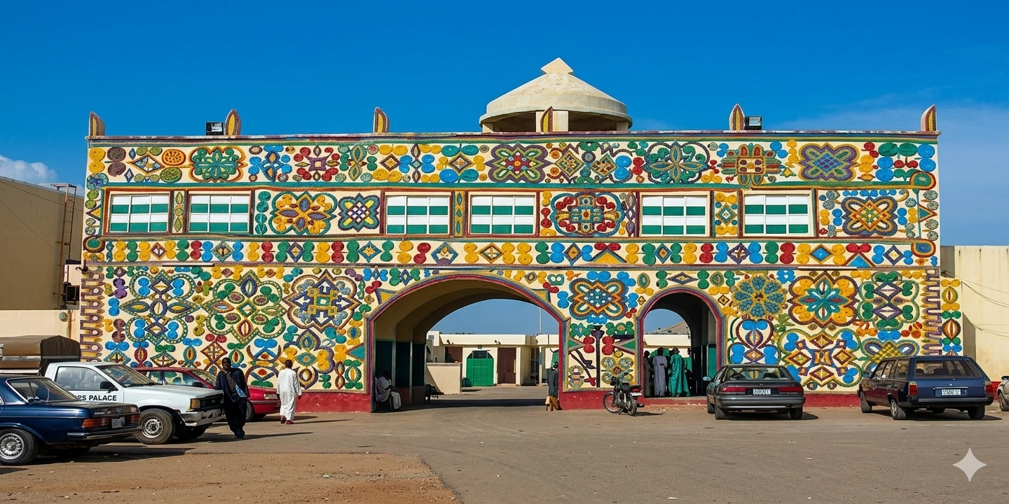
About Zaria
Discover the history, culture, and economy of Zaria Local Government Area.
General Information
Leadership
- Executive Chairman: Engr. Jamil Ahmad Muhammad Jaga
- Vice Chairman: Sheikh Abdullahi Abba
Location & Geography
- Location: Kaduna State, Northern Nigeria
- Headquarters: Zaria City (Birnin Zaria)
- Coordinates: 11°04′N 7°42′E
- Neighboring LGAs: Sabon Gari, Soba, Igabi, and Kudan.
Demographics
- Population: 736,000 (2021 estimate)
- Major Ethnic Groups: Hausa and Fulani.
- Languages Spoken: Hausa (predominant), English, Fulfulde.
Economy & Climate
- Main Economic Activities: Education, trading, farming, and commerce.
- Major Institution: Ahmadu Bello University.
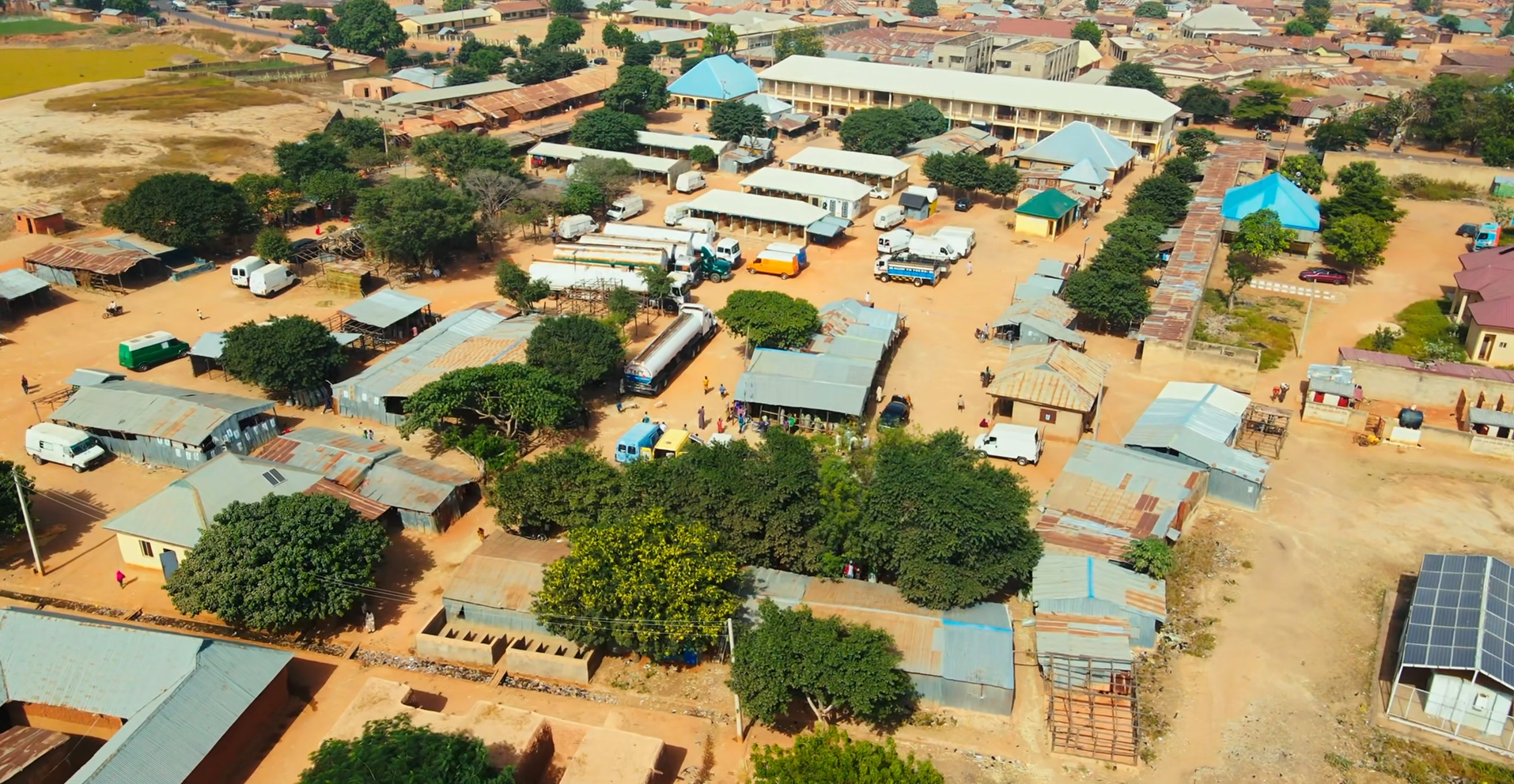
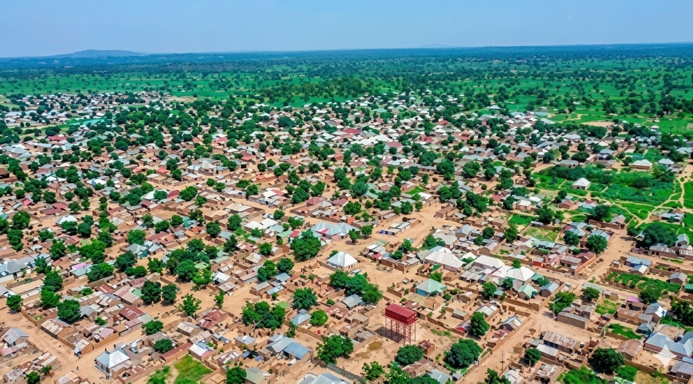
Geography & Economy
Location
Zaria is located in northern Kaduna State, on the Kubanni River, a tributary of the Kaduna River. It serves as a major collecting point for cotton, tobacco, peanuts, shea nuts, and hides and skins.
Climate
The area experiences a tropical savannah climate with rainy and dry seasons typical of northern Nigeria.
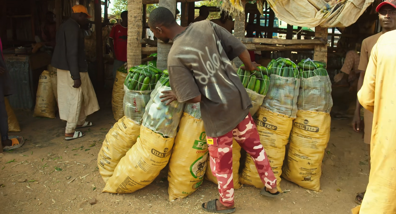
Main Economic Activities
- Education: Home to Ahmadu Bello University, Institute for Agricultural Research, and Nigerian Civil Aviation Training Centre.
- Commerce: Major market for sorghum, millet, soybeans, onions, cowpeas, cloth, and livestock.
- Industry: Cotton ginning, textile production, furniture making, and cosmetics manufacturing.